Geothermal Energy
Geothermal energy — assessment of geothermal systems and support for the development and exploitation of resources
In geothermal projects, GT draws on the expertise it has developed in seismic surveys, well logging, geology and hydrogeology. Integrated assessment of the geological structure, hydrogeological conditions, tectonics, reservoir parameters and temperature distribution supports the exploration, development and safe exploitation of geothermal resources.
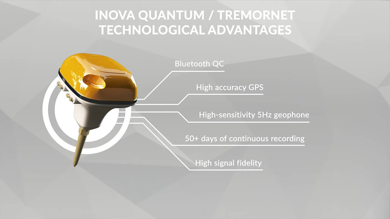
During the exploration phase, GT carries out seismic surveys which enable the mapping of geological structure, the identification of stratigraphic sequences, faults, fracture zones, tectonic discontinuities and potential thermal water flow paths. Integrated interpretation of seismic data enables the geometry of the geothermal system to be determined and zones with favourable parameters of porosity, permeability and heat accumulation to be identified.
An important complement to the assessment is the geophysical logging carried out in boreholes, both during and after drilling. This provides information on temperature, pressure, lithology, the petrophysical properties of the rock, aquifers and the production potential of the geothermal system.
The integration of seismic, geological, hydrogeological, wellbore and temperature data enables the development of a reliable model of the geothermal system. As a result, GT supports the selection of well locations, the planning of drilling operations, the assessment of the system’s productivity, production planning and the monitoring of installation parameters.
The client is provided with a reliable basis for characterising the geothermal system, locating production and injection wells, assessing the resource’s yield, and ensuring the safe and efficient development of geothermal energy.