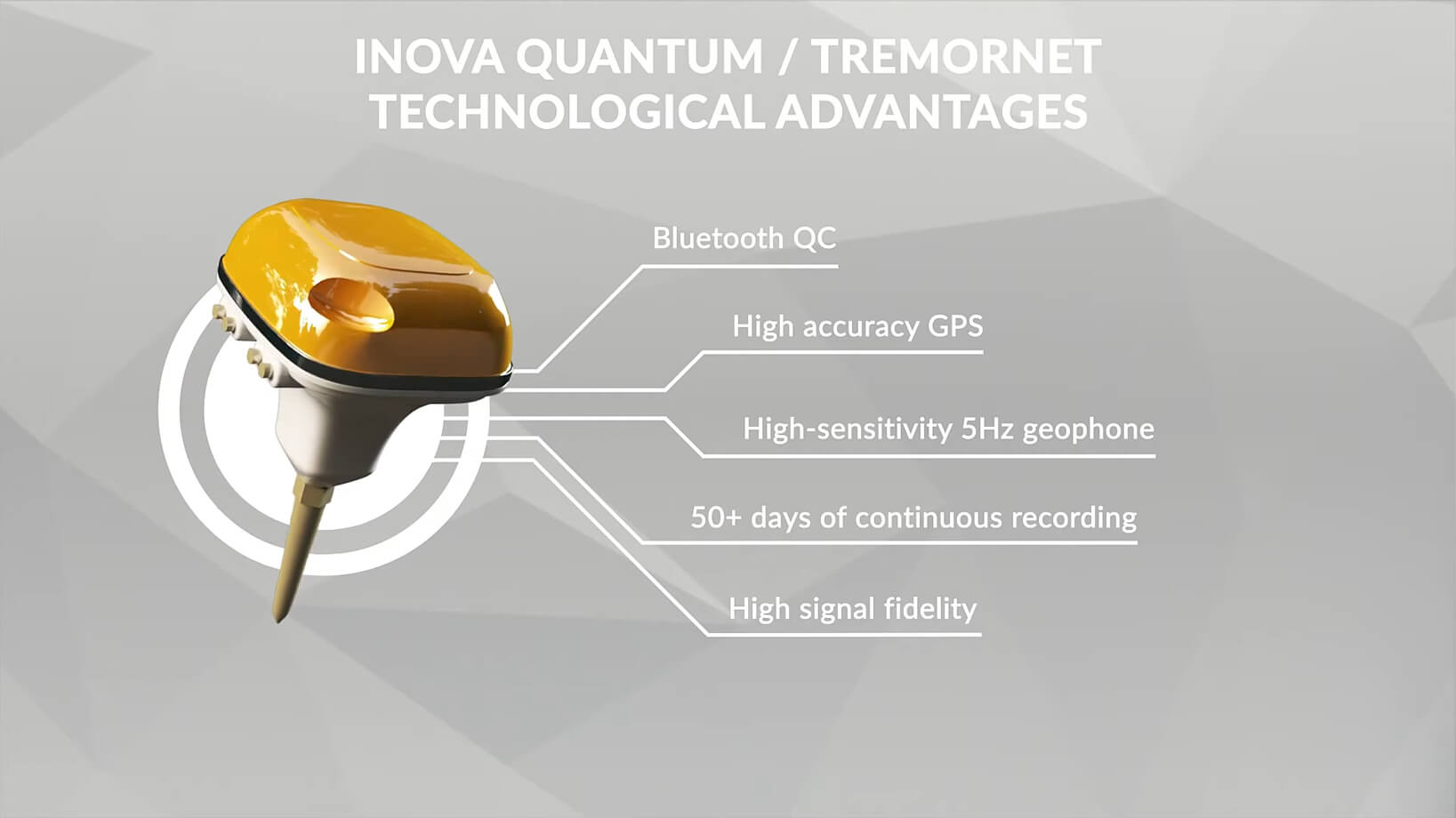
Engineering Geophysics
Non-invasive ground investigation for the safe design and implementation of projects
Why this service is important
Engineering geophysics enables the rapid and non-invasive investigation of the near-surface subsurface. It complements drilling, probing and laboratory testing by revealing spatial variations in conditions between direct investigation points.
GT’s offer
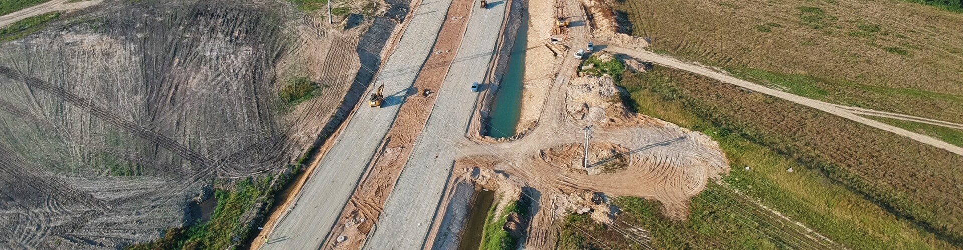
GT provides engineering geophysics services for geological and engineering, hydrogeological, geotechnical, construction, road, environmental and infrastructure projects. Surveys can be carried out on land, in coastal areas, on rivers, lakes, wetlands and in the marine environment.
Technologies and operational advantages
In carrying out its work, GT utilises non-invasive subsurface imaging methods, selected according to the purpose of the survey, the depth of investigation, site conditions and the expected resolution of the results. The primary methods include electrical resistivity tomography (ERT), ground-penetrating radar (GPR) surveys and MASW seismic surveys.
The integration of geophysical results with geological, hydrogeological, geotechnical and environmental data enables us to identify areas requiring detailed investigation, optimise the location of boreholes and test pits, and build a coherent model of subsurface conditions.
Value for the client
The client receives rapid, spatial and non-invasive subsoil investigation, supporting the mitigation of design risks, the optimisation of the scope of direct investigations, the planning of construction works and technical decision-making.
Scope of services
- Electrical Resistivity Tomography (ERT), including surveys through water obstacles
- Ground Penetrating Radar (GPR) surveys
- MASW seismic surveys
- assessment of soil, groundwater and hydrogeological conditions
- identification of water-saturated zones, loosened soil, voids and discontinuities
- subsurface assessment for construction, road, rail and industrial projects
- support for the design and execution of HDD boreholes
- integration of results with geological, hydrogeological and geotechnical data