Seismic Data Processing & Imaging
Advanced methods for a reliable image of the geological structure.
Why this service is important
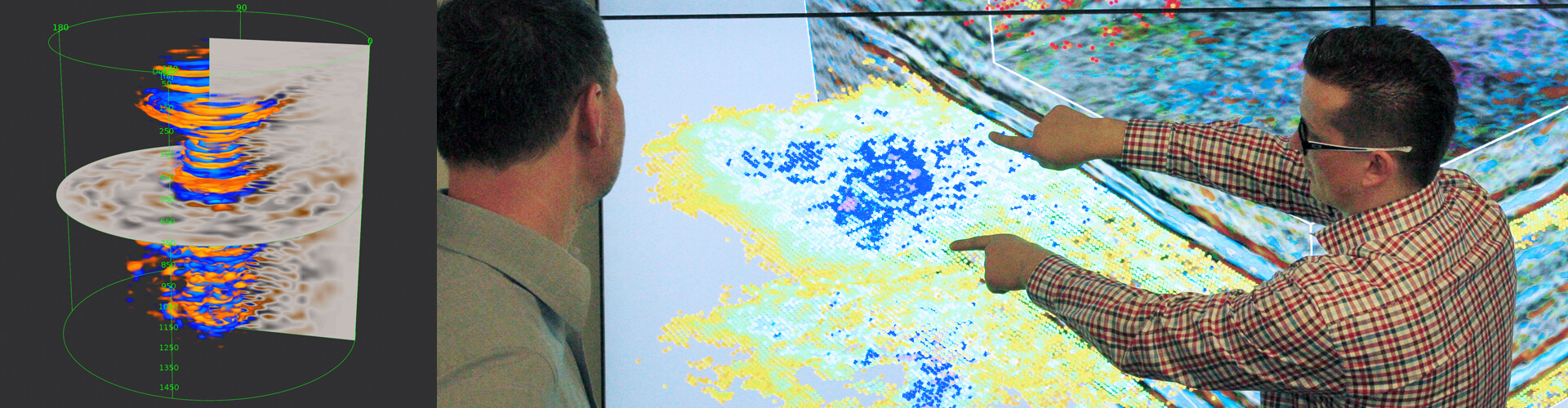
Seismic data processing transforms field recordings into a reliable image of the geological structure. The quality of this process influences the effectiveness of interpretation, the identification of structures, the construction of a geological model, risk assessment, and technical and investment decisions.
GT’s offer
GT provides specialist services in the processing and imaging of seismic data in the time and depth domains. It combines geophysical expertise, the team’s experience, proprietary technological solutions and modern computational tools to deliver seismic images of high interpretative value.
The work is carried out at the GT’s Seismic Data Processing Centre, which is equipped with a comprehensive range of hardware, computing and software facilities. These resources enable the handling of large volumes of data and the execution of advanced processing and imaging processes in the time and depth domains.
GT processes seismic data acquired on land, at sea and in transitional zones, including data with high spatial density, wide-azimuth and full-azimuth data, as well as high- and ultra-high-resolution data.
Technologies and operational advantages
In carrying out its work, GT utilises advanced procedures including quality control, geometry preparation, noise reduction, static and kinematic corrections, deconvolution, multiple wave suppression (demultiplexing), data regularisation and interpolation, velocity modelling, time and depth migration, diffraction and specular imaging, data sectorisation, and signal separation from simultaneous acquisitions.
The most advanced processes also utilise full-wavefield inversion (FWI), automation and machine learning. These methods support the construction of more accurate velocity models, the analysis of large volumes of data and the imaging of complex geological structures.
Value for the client
The client receives a high-quality seismic image which enhances the reliability of interpretation, improves the representation of geological structures, reduces uncertainty and prepares the data for geological, reservoir and investment analyses.
Scope of services
- seismic data processing in the time and depth domains
- processing of onshore, offshore and transitional zone data
- processing of 2D, 3D, wide-azimuth and full-azimuth data
- velocity modelling and subsurface modelling
- time and depth migration
- diffraction and specular imaging, and data sectorisation
- deblending of data from simultaneous acquisitions
- Fast Track and integration of results with geological and well data