Offshore Wind Energy
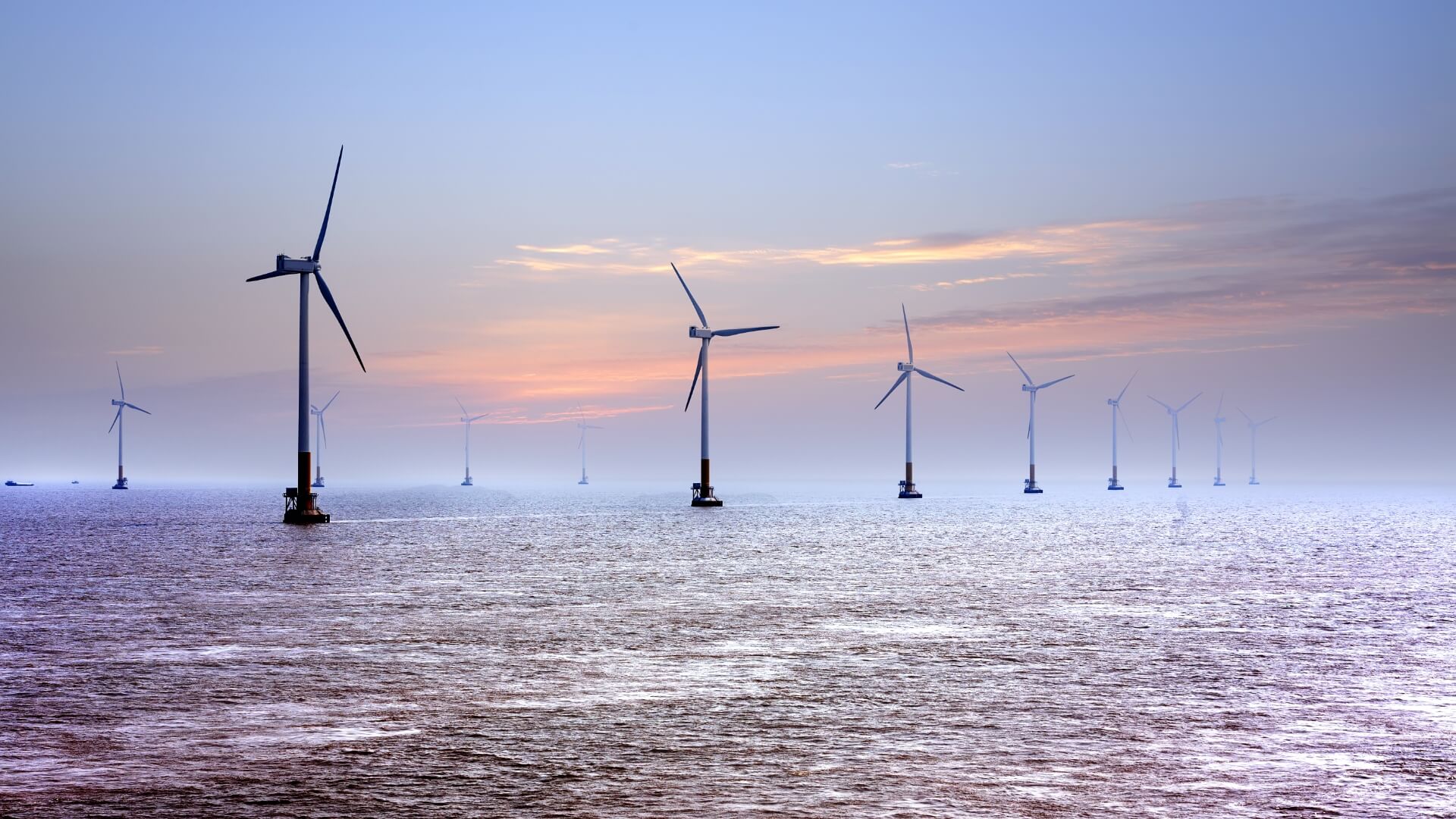
Offshore wind energy — subsurface characterisation and assessment of conditions for offshore projects
In offshore wind energy, GT combines high-resolution geophysical surveys with geological and geotechnical services for the seabed. Reliable subsurface characterisation supports site selection, the design of turbine foundations and offshore substations, the planning of subsea cable routes, and the safe implementation of projects.
During the project preparation phase, the Company carries out geophysical surveys, including high-resolution UHR seismic surveys, as well as geological and geotechnical surveys of the seabed. These enable the identification of the geological structure of the seabed, the thickness and type of sediments, near-surface layers, and factors that may influence the foundation conditions and installation of offshore infrastructure.
A key element of project preparation is comprehensive site characterisation, based on the integration of geophysical, geological, bathymetric and geotechnical data. This approach enables the identification of geohazards and conditions that may hinder the project’s implementation, including sediment variability, weak soils, boulders, discontinuities, erosion processes, seabed obstacles and man-made structures.
The integration of survey results enables the development of a reliable model of subsoil conditions, supporting design, planning of installation works and risk assessment at subsequent stages of offshore project implementation.
The client receives data and a ground model to assist with site selection, foundation design, cable route planning and the mitigation of technical, environmental and investment risks.