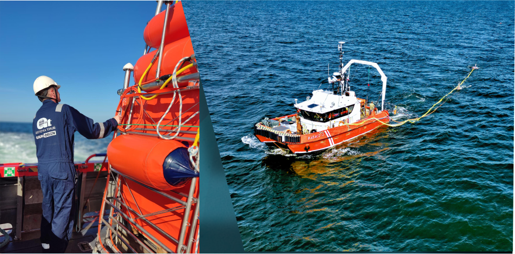
Offshore geophysical survey
Refraction and reflection seismic are geophysical methods used to investigate the structure of the geological medium both onshore and offshore.
GT offers comprehensive geophysical services dedicated to environmental research for the needs of the OWF
- Multi-channel UHR seismic
- Bathymetry and hydrography
- Magnetometry
- Seismoacoustics
UHRS – Ultra High Resolution Seismic – offered by GT provides a highly accurate image of the geological structures underlying the seabed.
TECHNOLOGY-UHRS
Energy Source
Geo Source Dual 200 Freshwater Sparker (2023)
Geo Source Dual 400 Freshwater Sparker (2026)
Recording System
UHRS Multi-Trace 96 Channel (2023)
UHRS Multi-Trace 96 Channel GeoRecorder Pro (2026)
Channels
- Geo-Sense 48 channel streamer 1+2m (2023)
- Geo-Sense 96 channel streamer 1m (2023)
- Geo-Sense 96 channel streamer 1m (2026)
TECHNOLOGY- Bathymetry and hydrography
- Multibeam Echo Sounder (MBES) – Konsberg EM2042
- Singlebeam Echo Sounder (SBES) – Konsberg EA440
- GNSS aided Inertial Navigation System – Konsberg Seapath 130
- Sub Bottom Profiler (SBP) – Konsberg Topas PS120
- Transverse Gradiometer – Geometrics G-882TVG
- Sound Velocity Profiler – Valeport SWiFT SVP